Scenic 4 custom map styles
Quote from Guido on 23.04.2025, 18:32This forum topic is dedicated to sharing map styles between members of our community.
Please ONLY USE THIS TOPIC TO SHARE MAP STYLES. For other comments, questions and feedback, please use another topic.
_________________________________As of Scenic v4.18 the MAP CUSTOMIZER is available. With the Map Customizer, you'll have full control over how your map looks and feels:
- Customize colors, road widths, and font sizes
- Choose which POIs to display, and when they appear
- Control what elements to show at what zoom level
- Etc.To start customizing, open the layers panel (the second button at the top left of the main screen) and tap "My map styles."
You can also share your style with others and import styles from others. This forum topic is for that.
_________________________________
How do I share a map style?
In the map style list, tap the style you want to share, and in the pop-up menu, choose "share style".
This will put a long ID number on the clipboard. This is the only thing the other Scenic user needs to import your style. So, simply send that number to the other Scenic user, using WhatsApp, Email, etc.Of course, if you think your map style is awesome and worthy of sharing with the community, add a reply here in this forum topic. Don't forget to include the map style ID.
_________________________________
How do I import a map style?
You'll need such a long ID as mentioned above. Another user needs to send it to you, or scroll down to see styles that community members shared.
Once you have that number:
- go to the map style list
- tap the + button top right
- choose "import style" from the pop-up menu
- now copy-paste the long ID in the text field and tap OK.
- you will be asked to change the name of the style if you want (this is optional)
- now the style is in your list, ready for you to use.
PLEASE NOTE: This creates a COPY of the style. Any changes the sharing user makes after you import that style will not be visible to you. Any changes you make to the style will not affect the original style.With that said... let's get styling...
This forum topic is dedicated to sharing map styles between members of our community.
Please ONLY USE THIS TOPIC TO SHARE MAP STYLES. For other comments, questions and feedback, please use another topic.
_________________________________
As of Scenic v4.18 the MAP CUSTOMIZER is available. With the Map Customizer, you'll have full control over how your map looks and feels:
- Customize colors, road widths, and font sizes
- Choose which POIs to display, and when they appear
- Control what elements to show at what zoom level
- Etc.
To start customizing, open the layers panel (the second button at the top left of the main screen) and tap "My map styles."

You can also share your style with others and import styles from others. This forum topic is for that.
_________________________________
How do I share a map style?
In the map style list, tap the style you want to share, and in the pop-up menu, choose "share style".

This will put a long ID number on the clipboard. This is the only thing the other Scenic user needs to import your style. So, simply send that number to the other Scenic user, using WhatsApp, Email, etc.
Of course, if you think your map style is awesome and worthy of sharing with the community, add a reply here in this forum topic. Don't forget to include the map style ID.
_________________________________
How do I import a map style?
You'll need such a long ID as mentioned above. Another user needs to send it to you, or scroll down to see styles that community members shared.
Once you have that number:
- go to the map style list
- tap the + button top right
- choose "import style" from the pop-up menu

- now copy-paste the long ID in the text field and tap OK.
- you will be asked to change the name of the style if you want (this is optional)
- now the style is in your list, ready for you to use.
PLEASE NOTE: This creates a COPY of the style. Any changes the sharing user makes after you import that style will not be visible to you. Any changes you make to the style will not affect the original style.
With that said... let's get styling...
Quote from Guido on 23.04.2025, 18:39This is my "Gray Roads" style. It's simple and clean, with less "clutter" and distractions on the map.
Map Style ID: 340A350A-4A73-4F91-9353-5E3BA5815B19_2637A2B9-5E5A-4EA1-B699-5F6A0E71C96D
Feel free to import and change to your liking.
Happy styling... Guido
This is my "Gray Roads" style. It's simple and clean, with less "clutter" and distractions on the map.
Map Style ID: 340A350A-4A73-4F91-9353-5E3BA5815B19_2637A2B9-5E5A-4EA1-B699-5F6A0E71C96D
Feel free to import and change to your liking.

Happy styling... Guido
Quote from Wesco1966 on 27.04.2025, 08:25Hello,
I tried to make a map style bases on the “famous” Michelin Maps in Europe.
Map Style ID: EE89D111-5D01-4C74-98B9-D8CBE3884B02_D43747DB-58A9-4479-8C09-6EB24ADB1A3C
I’m as happy as can be today. This was the feature I needed because there were to much details on the map.
I have been riding now with this lay-out and still working on some minor changes.
greetings
bert


Hello,
I tried to make a map style bases on the “famous” Michelin Maps in Europe.
Map Style ID: EE89D111-5D01-4C74-98B9-D8CBE3884B02_D43747DB-58A9-4479-8C09-6EB24ADB1A3C
I’m as happy as can be today. This was the feature I needed because there were to much details on the map.
I have been riding now with this lay-out and still working on some minor changes.
greetings
bert

Quote from MjK on 28.04.2025, 18:40Hi,
here my first tryouts to get a uncluttered Waze like map style created .
there is some key learnings - depending on your type of riding in terms of speed, the zoom level when certain elements are visualized or disappear is essential. As my average speed is rather around the 60-90km/h (40-55mph) some of those settings need to be adjusted for the faster tourers
Map Style ID light: CC20E7D2-D5EC-4AA8-B0BD-7B53EFD7DB5D_12ACBE92-A7ED-4B5D-A089-D64B99D44AF3
Map Style ID dark: CC20E7D2-D5EC-4AA8-B0BD-7B53EFD7DB5D_6BF01AC9-3162-4803-A7DC-1686224F7F9D
same like Bert, still working on it to improve visibility and user friendliness during the upcoming rides
Markus


Hi,
here my first tryouts to get a uncluttered Waze like map style created .
there is some key learnings - depending on your type of riding in terms of speed, the zoom level when certain elements are visualized or disappear is essential. As my average speed is rather around the 60-90km/h (40-55mph) some of those settings need to be adjusted for the faster tourers
Map Style ID light: CC20E7D2-D5EC-4AA8-B0BD-7B53EFD7DB5D_12ACBE92-A7ED-4B5D-A089-D64B99D44AF3
Map Style ID dark: CC20E7D2-D5EC-4AA8-B0BD-7B53EFD7DB5D_6BF01AC9-3162-4803-A7DC-1686224F7F9D
same like Bert, still working on it to improve visibility and user friendliness during the upcoming rides
Markus


Quote from MjK on 29.04.2025, 00:10Hello stylers,
For the ones rather using the „satellite hybrid“ map, this is what I am working on to get better visibility on:CC20E7D2-D5EC-4AA8-B0BD-7B53EFD7DB5D_2AC09F4C-9622-44D1-AB13-04D29FCB1694
open for any feedback or re-sharing of improvements, Markus
Hello stylers,
For the ones rather using the „satellite hybrid“ map, this is what I am working on to get better visibility on:
CC20E7D2-D5EC-4AA8-B0BD-7B53EFD7DB5D_2AC09F4C-9622-44D1-AB13-04D29FCB1694
open for any feedback or re-sharing of improvements, Markus

Quote from MjK on 01.05.2025, 01:58Quote from Wesco1966 on 27.04.2025, 08:25Hello,
I tried to make a map style bases on the “famous” Michelin Maps in Europe.
Map Style ID: EE89D111-5D01-4C74-98B9-D8CBE3884B02_D43747DB-58A9-4479-8C09-6EB24ADB1A3C
I’m as happy as can be today. This was the feature I needed because there were to much details on the map.
I have been riding now with this lay-out and still working on some minor changes.
greetings
bert
Hi Bert @wesco1966,
thanks for your map style, it’s not only reflecting the famous Michelin maps, but especially with overlays like Hill Shading (Relief Schatten) it works very very nicely
thanks, Markus
Quote from Wesco1966 on 27.04.2025, 08:25Hello,
I tried to make a map style bases on the “famous” Michelin Maps in Europe.
Map Style ID: EE89D111-5D01-4C74-98B9-D8CBE3884B02_D43747DB-58A9-4479-8C09-6EB24ADB1A3C
I’m as happy as can be today. This was the feature I needed because there were to much details on the map.
I have been riding now with this lay-out and still working on some minor changes.
greetings
bert
Hi Bert @wesco1966,
thanks for your map style, it’s not only reflecting the famous Michelin maps, but especially with overlays like Hill Shading (Relief Schatten) it works very very nicely
thanks, Markus
Quote from Grapii on 02.05.2025, 15:04My attempt at creating an Apple Maps inspired light and dark mode styles
Light = 7969899C-AE1A-4BB2-BE49-F7CB1C2A97EC_F285F5E7-4371-43CB-B80A-6BEAF20EAE61

Dark = 7969899C-AE1A-4BB2-BE49-F7CB1C2A97EC_EE519560-3DB2-4645-9611-CB217D3D029D

My attempt at creating an Apple Maps inspired light and dark mode styles
Light = 7969899C-AE1A-4BB2-BE49-F7CB1C2A97EC_F285F5E7-4371-43CB-B80A-6BEAF20EAE61

Dark = 7969899C-AE1A-4BB2-BE49-F7CB1C2A97EC_EE519560-3DB2-4645-9611-CB217D3D029D

Quote from Mex on 02.05.2025, 23:12Hi folks,
i hijacked Bert‘s Michelin Style and set it to dark mode
Dark:
316A50D7-EB99-482D-AEBE-E2A0E69D94EC_F239EA6B-FD12-43CF-A8F9-5AD24DE5F0BD
As an example:
Map customizer is a really nice tool.
Have fun and ride safe, Mex
Hi folks,
i hijacked Bert‘s Michelin Style and set it to dark mode
Dark:
316A50D7-EB99-482D-AEBE-E2A0E69D94EC_F239EA6B-FD12-43CF-A8F9-5AD24DE5F0BD
As an example:
Map customizer is a really nice tool.
Have fun and ride safe, Mex
Quote from brammes62 on 04.05.2025, 08:45
My own “No Name” style..
6C8480A1-7DAB-46D0-A516-66892172B1B6_DBA277CE-6E59-4CEC-9EC4-EB73CBF45F3C
My own “No Name” style..
6C8480A1-7DAB-46D0-A516-66892172B1B6_DBA277CE-6E59-4CEC-9EC4-EB73CBF45F3C

Quote from Middelfrangge on 04.05.2025, 11:19Hi,
I tried to create a very famous german map style which is used on the paper maps of „Die Generalkarte“, a map that I always had in my tankbag for many years.
04680256-F115-4CE0-90CB-E41CFBFEAD61_8741C85A-CF70-435C-A1A1-79FF2819523D
best with the hill shading/ relief Schatten overlay.
hope it helps someone or brings back memories
edit January 2026:
I adjusted the map style of „Die Gereralkarte“ for Carplay because the width of the roads were too wide and furthermore I cleaned up the POI visibility.
04680256-F115-4CE0-90CB-E41CFBFEAD61_B61B599F-C60C-4E17-BB7D-FD0CB6B76CDA
Thomas
Hi,
I tried to create a very famous german map style which is used on the paper maps of „Die Generalkarte“, a map that I always had in my tankbag for many years.
04680256-F115-4CE0-90CB-E41CFBFEAD61_8741C85A-CF70-435C-A1A1-79FF2819523D

best with the hill shading/ relief Schatten overlay.
hope it helps someone or brings back memories
edit January 2026:
I adjusted the map style of „Die Gereralkarte“ for Carplay because the width of the roads were too wide and furthermore I cleaned up the POI visibility.
04680256-F115-4CE0-90CB-E41CFBFEAD61_B61B599F-C60C-4E17-BB7D-FD0CB6B76CDA
Thomas
Quote from Vollcross on 04.05.2025, 12:15Here my contribution for usage on a 6,25" Carplay display.
Thicker roads, less POI's and less overall details:Day
0840F8D9-4639-419E-8DF4-9BEB6EB686D6_006C6A42-55B1-4F47-9757-9553C79F05DB
Night
0840F8D9-4639-419E-8DF4-9BEB6EB686D6_7CD87141-24B1-488A-A045-1C58B816ECB3
...enjoy, if this works out for you!
Regards
Volker
Here my contribution for usage on a 6,25" Carplay display.
Thicker roads, less POI's and less overall details:
Day
0840F8D9-4639-419E-8DF4-9BEB6EB686D6_006C6A42-55B1-4F47-9757-9553C79F05DB

Night
0840F8D9-4639-419E-8DF4-9BEB6EB686D6_7CD87141-24B1-488A-A045-1C58B816ECB3

...enjoy, if this works out for you!
Regards
Volker
Quote from EdgarCaetano on 06.05.2025, 03:41Hello everyone,
First of all congratulations to Guido and the team for the Map Customizer, which is a very welcome function since I was never a fan of all that orange in the original style.
I've done a style in a dark tone with somber blue tints that resemble Waze's layout, to an extent. You're all very welcome to use it and adjust it to your liking. Ride safe
10E3AC06-F11E-4069-AFC5-93C0A0ED672A_CDCFC1E9-09C7-463A-9D20-66373399A391
Hello everyone,
First of all congratulations to Guido and the team for the Map Customizer, which is a very welcome function since I was never a fan of all that orange in the original style.
I've done a style in a dark tone with somber blue tints that resemble Waze's layout, to an extent. You're all very welcome to use it and adjust it to your liking. Ride safe
10E3AC06-F11E-4069-AFC5-93C0A0ED672A_CDCFC1E9-09C7-463A-9D20-66373399A391

Quote from Rods on 22.05.2025, 12:56
104D2B8C-5345-405D-9E32-6940453A71D7_D4ABC4DF-EF0B-40D5-8BCE-9A5C6F8E89BC

104D2B8C-5345-405D-9E32-6940453A71D7_D4ABC4DF-EF0B-40D5-8BCE-9A5C6F8E89BC


Quote from Olders on 26.05.2025, 04:00Hi,
here is a map style I have put together based on the UK’s ‘Standard’ Ordnance Survey maps. Nit is only a ‘light’ version for now. If I do a ‘dark’ version, I will post it then.
FA197022-DA30-42E1-AD49-A9289773F775_CB589F91-F1D5-4ED4-A311-A7940331944B


Enjoy!
Hi,
here is a map style I have put together based on the UK’s ‘Standard’ Ordnance Survey maps. Nit is only a ‘light’ version for now. If I do a ‘dark’ version, I will post it then.
FA197022-DA30-42E1-AD49-A9289773F775_CB589F91-F1D5-4ED4-A311-A7940331944B

Enjoy!
Quote from Olders on 26.05.2025, 04:04Here is a Google Maps based scheme I have put together:
FA197022-DA30-42E1-AD49-A9289773F775_2F6477E4-A1A4-4BFC-A579-5FB2F279D589


Here is a Google Maps based scheme I have put together:
FA197022-DA30-42E1-AD49-A9289773F775_2F6477E4-A1A4-4BFC-A579-5FB2F279D589

Quote from razievel on 15.06.2025, 04:14Hi,
I'm sharing super clean style decluttered from anything that should be not on rider's focus, based on @olders post (Google Maps). Just like in description, this one is designed "for easy planning trip, ride through pass roads, stop by the lake / waterfall / viewpoint / beach". Could be useful especially for Swiss riders, where the areas are full of pass roads and beautiful lakes.
ID: 5B69B4C0-55D2-4375-989F-5D4C7A8B9715_AEB400EC-857A-4FE5-9A5B-58C3CA74D9FF
Have fun and stay safe!


Hi,
I'm sharing super clean style decluttered from anything that should be not on rider's focus, based on @olders post (Google Maps). Just like in description, this one is designed "for easy planning trip, ride through pass roads, stop by the lake / waterfall / viewpoint / beach". Could be useful especially for Swiss riders, where the areas are full of pass roads and beautiful lakes.
ID: 5B69B4C0-55D2-4375-989F-5D4C7A8B9715_AEB400EC-857A-4FE5-9A5B-58C3CA74D9FF
Have fun and stay safe!

Quote from Olders on 15.06.2025, 10:50Quote from razievel on 15.06.2025, 04:14Hi,
I'm sharing super clean style decluttered from anything that should be not on rider's focus, based on @olders post (Google Maps). Just like in description, this one is designed "for easy planning trip, ride through pass roads, stop by the lake / waterfall / viewpoint / beach". Could be useful especially for Swiss riders, where the areas are full of pass roads and beautiful lakes.
ID: 5B69B4C0-55D2-4375-989F-5D4C7A8B9715_AEB400EC-857A-4FE5-9A5B-58C3CA74D9FF
Have fun and stay safe!
Quote from razievel on 15.06.2025, 04:14Hi,
I'm sharing super clean style decluttered from anything that should be not on rider's focus, based on @olders post (Google Maps). Just like in description, this one is designed "for easy planning trip, ride through pass roads, stop by the lake / waterfall / viewpoint / beach". Could be useful especially for Swiss riders, where the areas are full of pass roads and beautiful lakes.
ID: 5B69B4C0-55D2-4375-989F-5D4C7A8B9715_AEB400EC-857A-4FE5-9A5B-58C3CA74D9FF
Have fun and stay safe!
Nice one Razievel!
Some good tweaks there - like it!!
👍🏻
Quote from razievel on 15.06.2025, 04:14Hi,
I'm sharing super clean style decluttered from anything that should be not on rider's focus, based on @olders post (Google Maps). Just like in description, this one is designed "for easy planning trip, ride through pass roads, stop by the lake / waterfall / viewpoint / beach". Could be useful especially for Swiss riders, where the areas are full of pass roads and beautiful lakes.
ID: 5B69B4C0-55D2-4375-989F-5D4C7A8B9715_AEB400EC-857A-4FE5-9A5B-58C3CA74D9FF
Have fun and stay safe!
Nice one Razievel!
Some good tweaks there - like it!!
👍🏻
Quote from tcherpeti on 10.07.2025, 13:09
Quote from Wesco1966 on 27.04.2025, 08:25Hello,
I tried to make a map style bases on the “famous” Michelin Maps in Europe.
Map Style ID: EE89D111-5D01-4C74-98B9-D8CBE3884B02_D43747DB-58A9-4479-8C09-6EB24ADB1A3C
I’m as happy as can be today. This was the feature I needed because there were to much details on the map.
I have been riding now with this lay-out and still working on some minor changes.
greetings
bert
Thank you Bert , i.am also fan of the michelin 1/200.000 ème maps , witch Îtravelled with manynyears before subscribe to scenic . ( I must admit , I still travelling with in my « sacoche de résevoir » but it is more in case of dépannage .
you did a very good work . I just download your style map , great , thanks again 👍(don’t hesitate to post here the evolution of your michelin style 😉😉 )
Quote from Wesco1966 on 27.04.2025, 08:25Hello,
I tried to make a map style bases on the “famous” Michelin Maps in Europe.
Map Style ID: EE89D111-5D01-4C74-98B9-D8CBE3884B02_D43747DB-58A9-4479-8C09-6EB24ADB1A3C
I’m as happy as can be today. This was the feature I needed because there were to much details on the map.
I have been riding now with this lay-out and still working on some minor changes.
greetings
bert
Thank you Bert , i.am also fan of the michelin 1/200.000 ème maps , witch Îtravelled with manynyears before subscribe to scenic . ( I must admit , I still travelling with in my « sacoche de résevoir » but it is more in case of dépannage .
you did a very good work . I just download your style map , great , thanks again 👍
(don’t hesitate to post here the evolution of your michelin style 😉😉 )
Quote from johansw on 19.08.2025, 09:27My try - high contrast, few details, lower zoom levels add those. Level for roads are Yellow - Red - Blue - Green - Grey, yellow beeing motorways, grey town roads.
This is Norway with very few towns and villages compared to more dense populated counties. The appearance of names need in those cases to be changed.
8E636E94-20A9-4727-BAF9-1CE5E412B917_FB3F9399-A53D-4D6F-A284-E890A3B2085B
ZOOM 20 m
ZOOM 100 m
ZOOM 200 m
ZOOM 500 m
ZOOM 1 km
ZOOM 2 km
My try - high contrast, few details, lower zoom levels add those. Level for roads are Yellow - Red - Blue - Green - Grey, yellow beeing motorways, grey town roads.
This is Norway with very few towns and villages compared to more dense populated counties. The appearance of names need in those cases to be changed.
8E636E94-20A9-4727-BAF9-1CE5E412B917_FB3F9399-A53D-4D6F-A284-E890A3B2085B
ZOOM 20 m

ZOOM 100 m

ZOOM 200 m

ZOOM 500 m

ZOOM 1 km

ZOOM 2 km

Quote from pe112 on 17.10.2025, 03:55Here is the style I am using on my Suzuki V-Strom 1050 XT which has an old-fashioned LCD dashboard with inverse display (green on black background).
There will be very few among you who would use it as is, but feel free to take it as a base for your own dark mode styles.FF7B83D2-08C8-43FC-8629-445D39992176_2F2E5026-F06A-4699-897F-24FEBEA2A91E
Here is the style I am using on my Suzuki V-Strom 1050 XT which has an old-fashioned LCD dashboard with inverse display (green on black background).
There will be very few among you who would use it as is, but feel free to take it as a base for your own dark mode styles.
FF7B83D2-08C8-43FC-8629-445D39992176_2F2E5026-F06A-4699-897F-24FEBEA2A91E


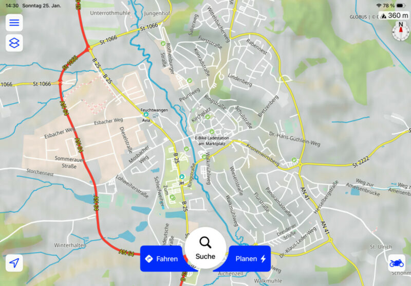
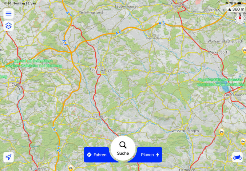
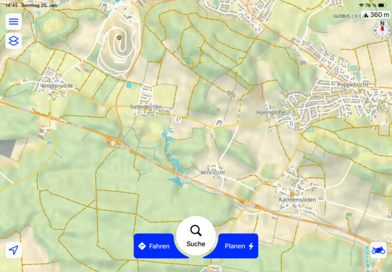
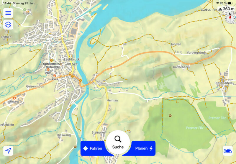
Quote from Middelfrangge on 25.01.2026, 07:46Hi,
I tried to help a friend with a map-style that is better for Offroad riding because he is using GAIA but this app cannot be used with a BT controller. Unfortunately the Gravel roads cannot be set to the the same style as GAIA is using with two outlines as other roads but maybe it helps someone for his/her Offroad trips.
04680256-F115-4CE0-90CB-E41CFBFEAD61_6F957D42-E501-4B89-BFEF-5EA1ABBB92CE
Regards
Thomas
Hi,
I tried to help a friend with a map-style that is better for Offroad riding because he is using GAIA but this app cannot be used with a BT controller. Unfortunately the Gravel roads cannot be set to the the same style as GAIA is using with two outlines as other roads but maybe it helps someone for his/her Offroad trips.
04680256-F115-4CE0-90CB-E41CFBFEAD61_6F957D42-E501-4B89-BFEF-5EA1ABBB92CE
Regards
Thomas


